Crêt de la Goutte (1621 m)

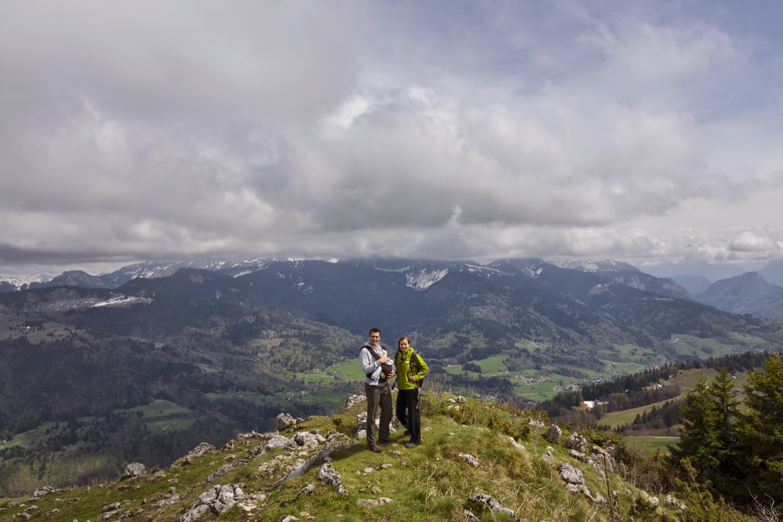
I have been craving for a good weather hike for a while and had high hopes that would be the one! Well… it wasn’t exactly what I craved for, still better than the last ones weather-wise. Crêt de la Goutte is a summit in Jura range, just a 15-minute-drive from home. I chose it because it’s close, fun, and low-altitude (I don’t want to wade through snow on the routes). I was also glad that I could share this hike with my friend Kim who is a keen walker (and runner) herself.

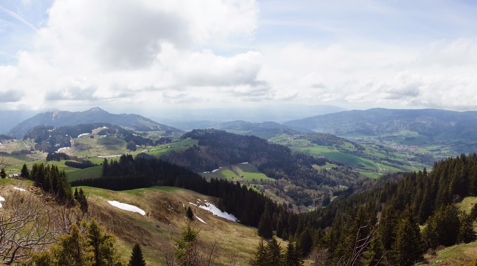
We started off from Fort l’Ecluse but were unable to find the path up, so we went on the planned route clockwise (except counterclockwise). At the end of our hike it turned out that we had been just right by the track, we even looked at it, but we just didn’t believe it was a trail (it looked nothing like it – being wild, unmarked and steep). The path was very mild in the beginning, going through fields, meadows and forests. The weather was nice in general, pretty unstable though. At some point we saw a gloom of storm chasing us, fortunatelly we managed to get away only with a bit of a drizzle. I mean… that time 🙂

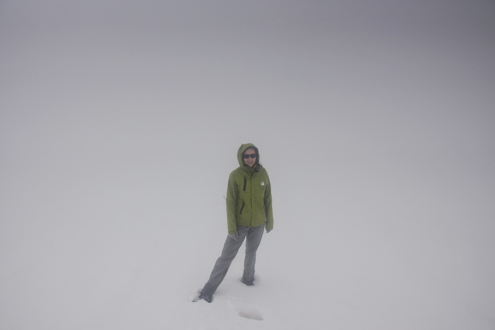
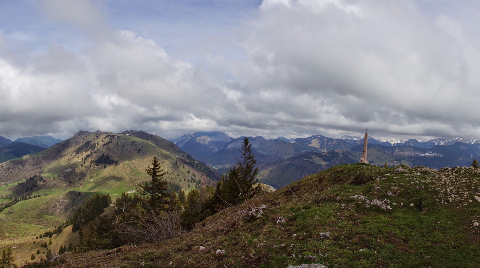
At that time… because just a couple of quaters later, right before the summit, we had to face a drastic weather change and make through the hail. Well, that was new 🙂 You can imagine my disappointment, struggling to get to the top, already tired after a couple of kilometres, and not being able to see the views around… again! Fortunately, we stayed a couple of minutes at the top and the sky started to clear a bit, in order to become completely visible after we have descended.

photo: Kim
 

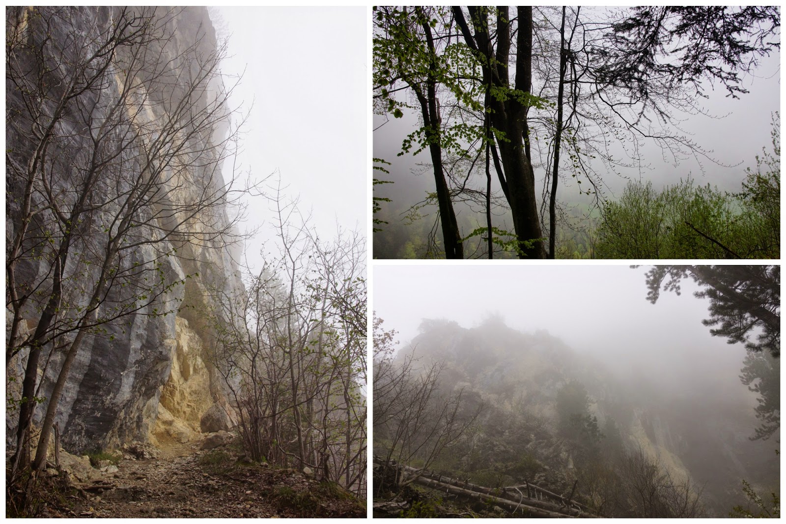
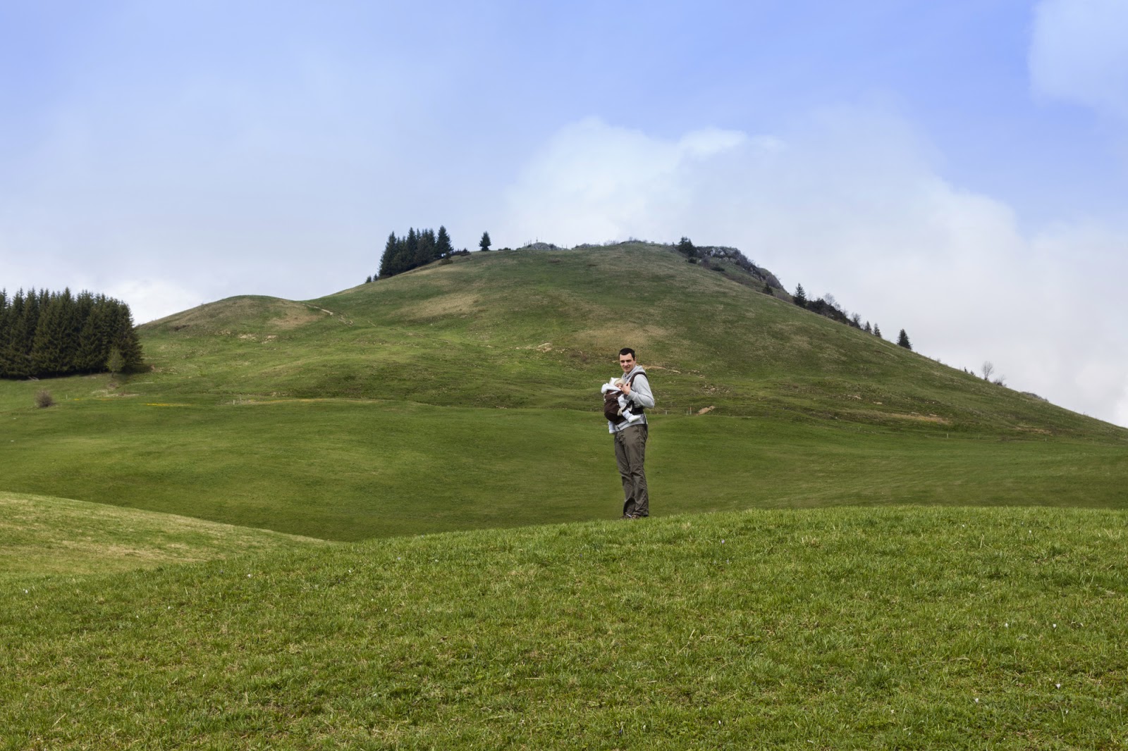
We soon left the plains behind and entered a forest, following a path that was well marked with cairns (stone pyramids) that came in handy, especially on the wilder parts of trail. Every now and then we sidetracked a bit to see stunning rocky cliffs.

Photo:Kim

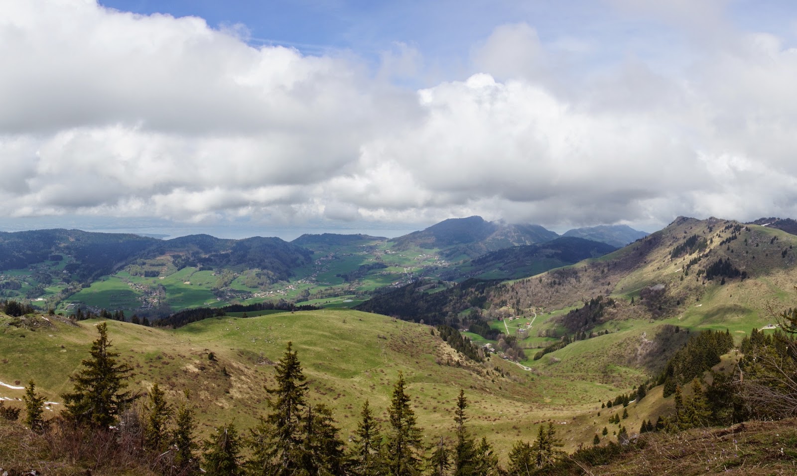
At some point of walking we found ourselves above Fort l’Ecluse, with a charming view on le Rhône river and Vuache mountain range.

 
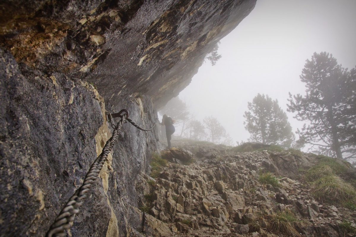
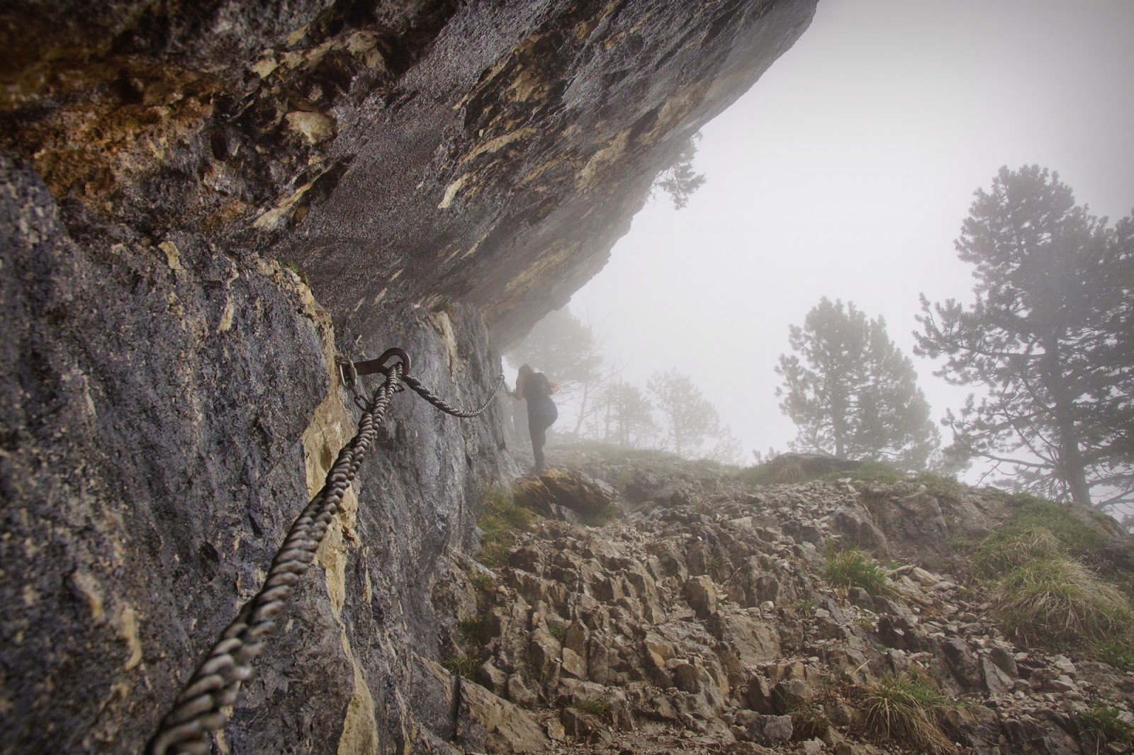
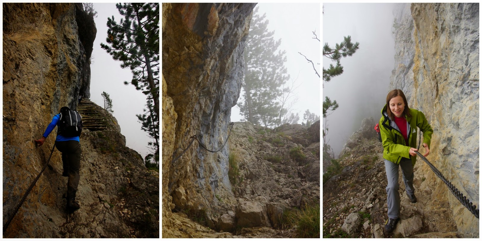
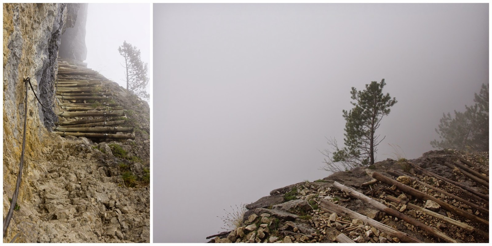
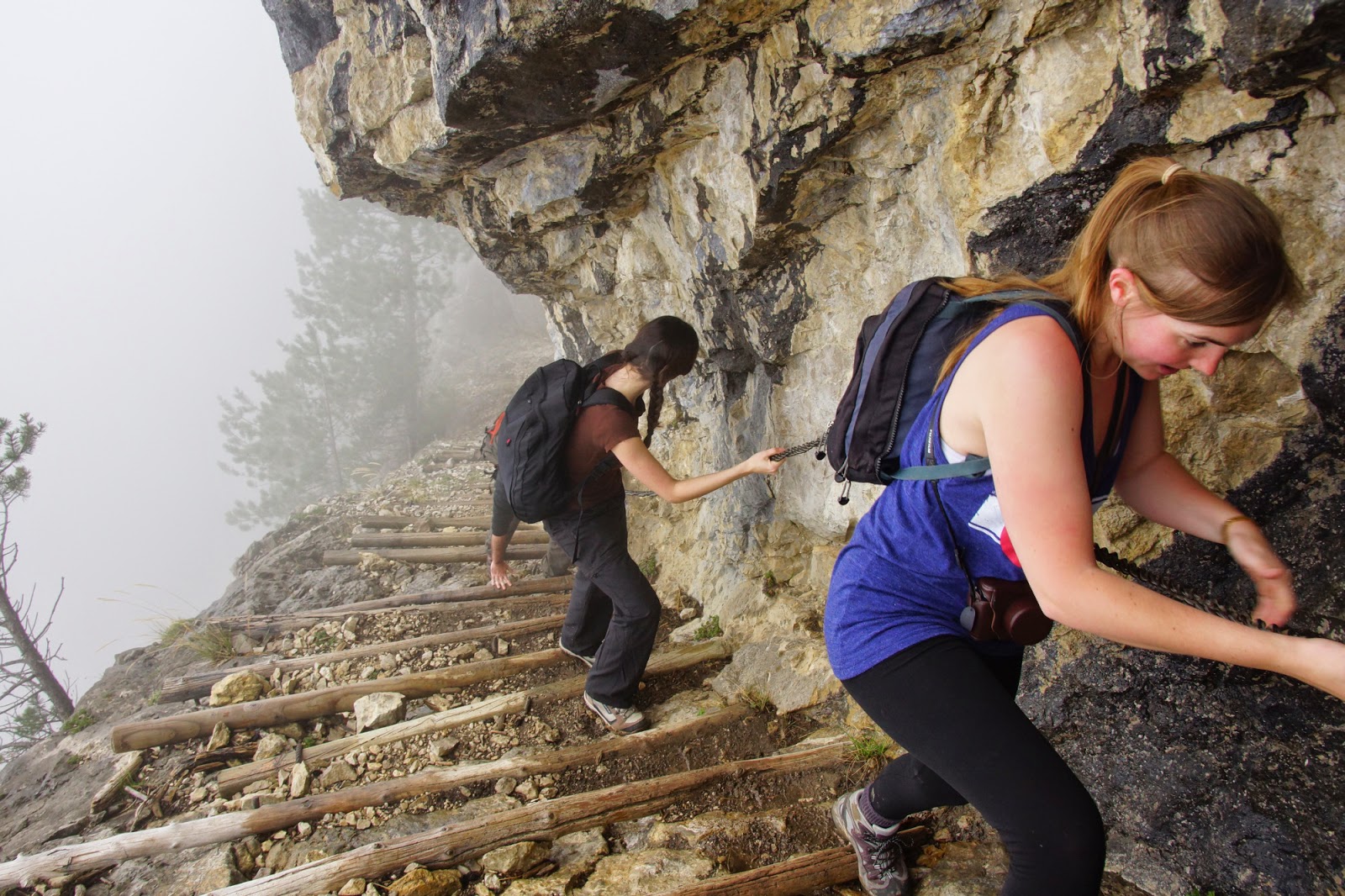
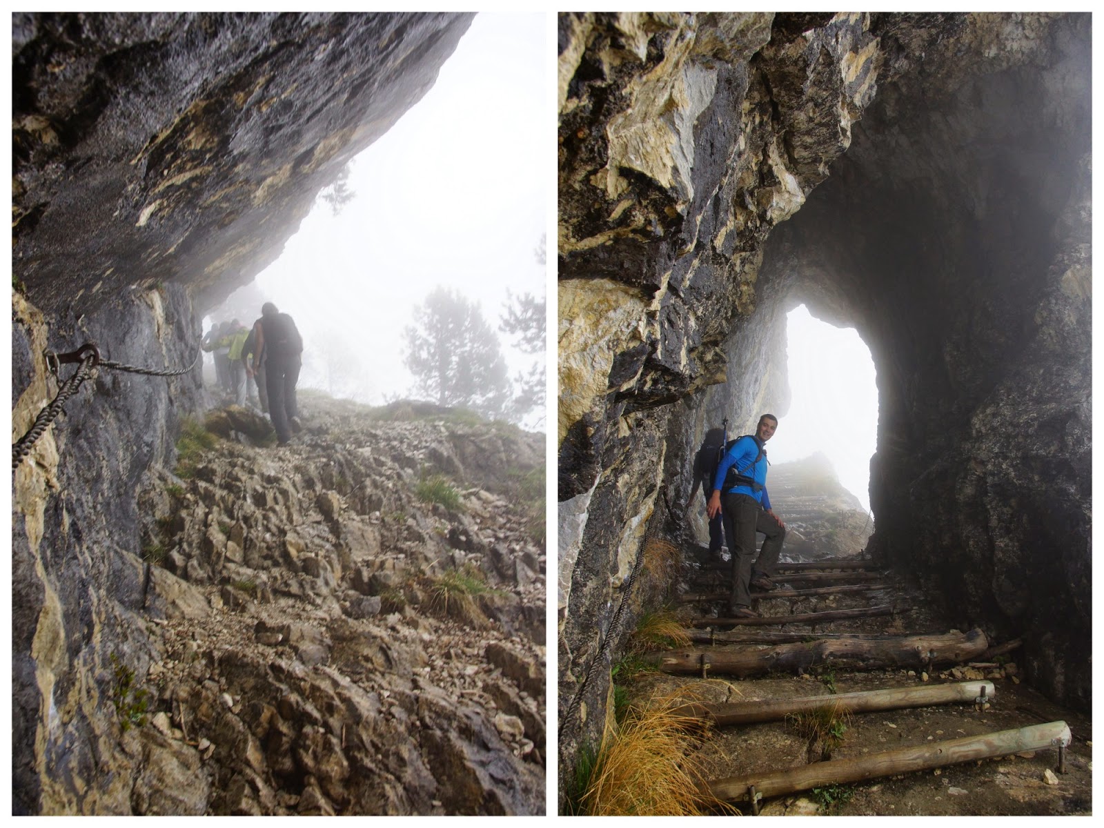
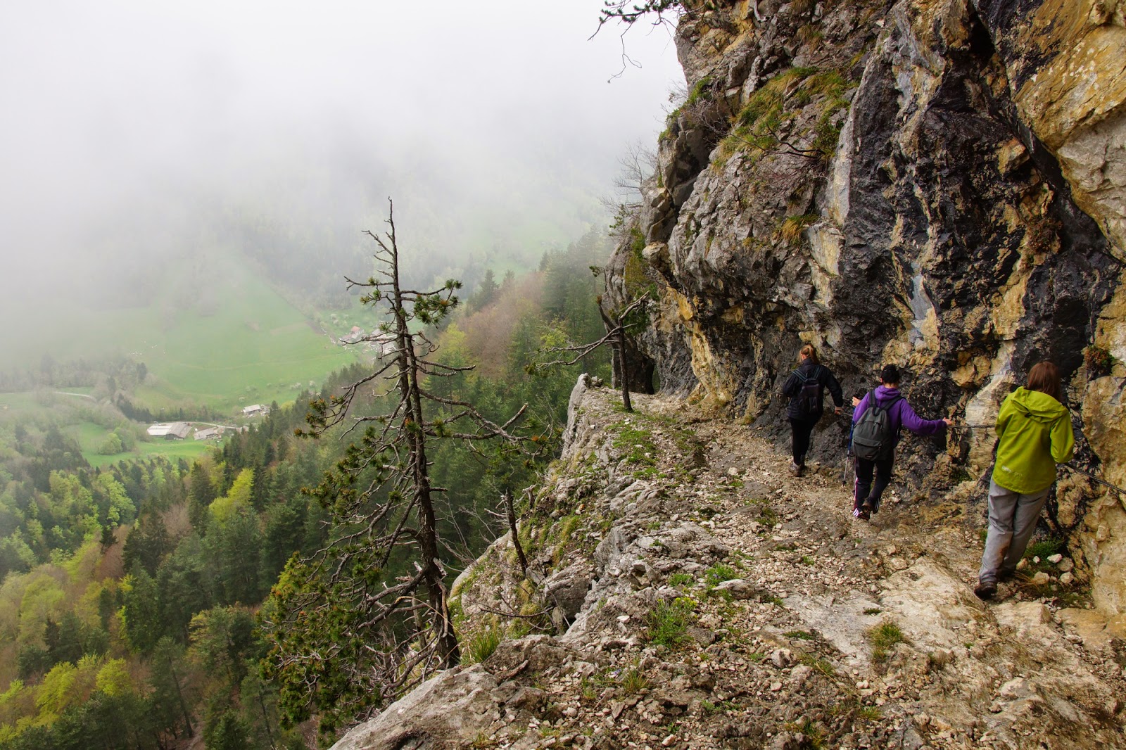
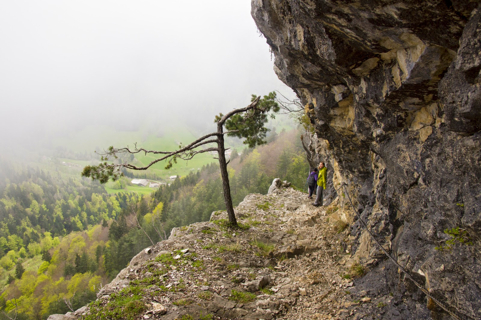
From the point you see in the photos above, we basically went down… Like, vertically down 🙂 The path we entered was very steep and definitely very wild!

That’s Kim in the bushes…  I mean on the trail.

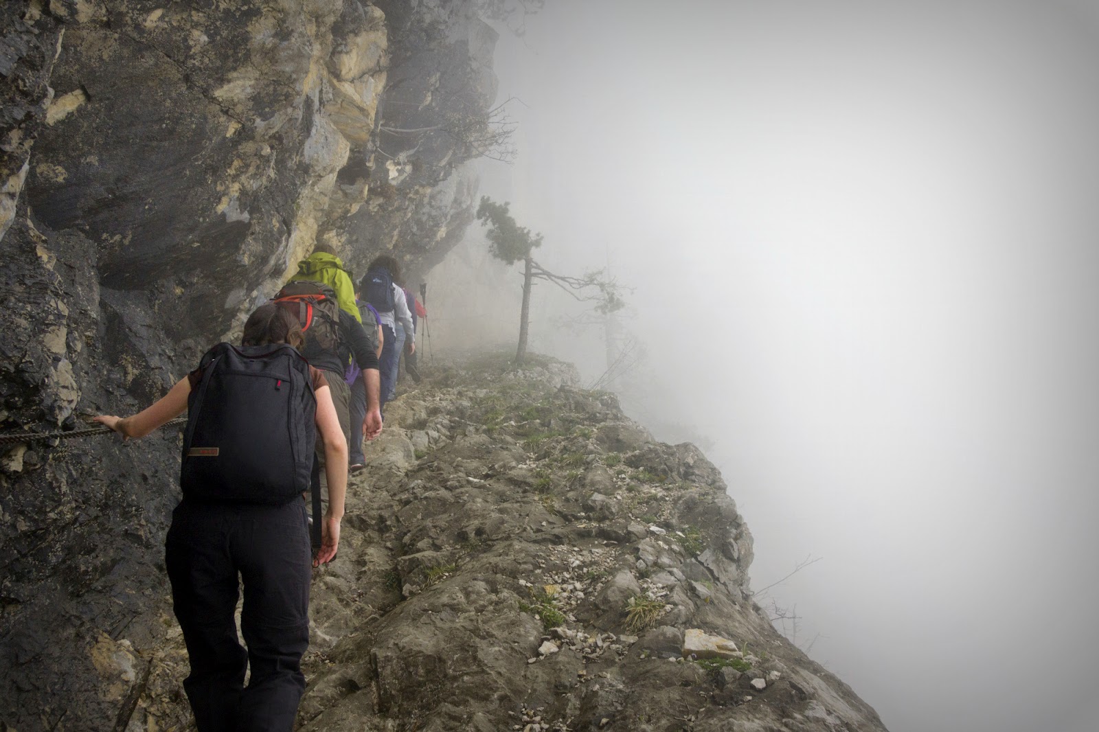
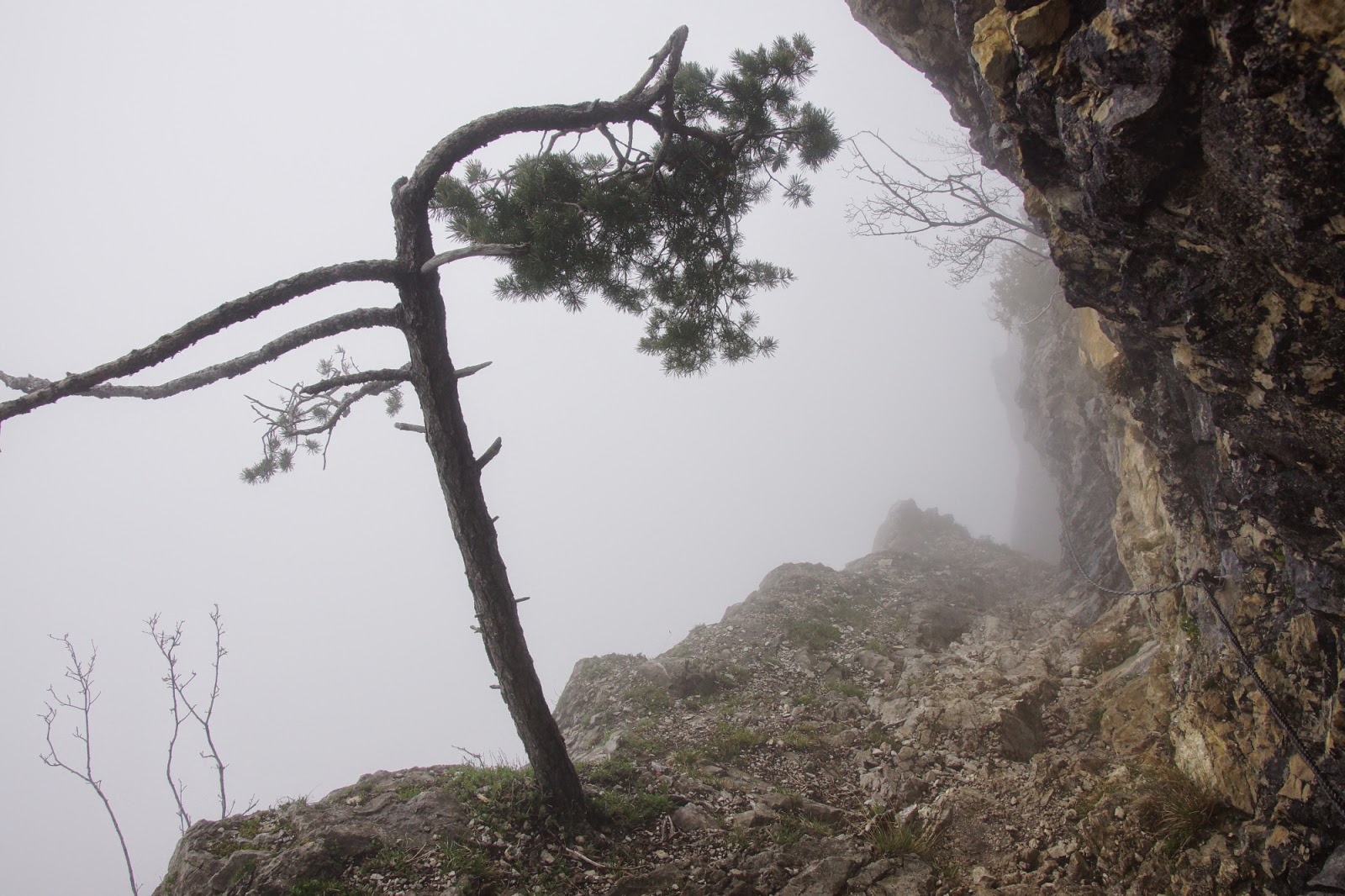
While hacking through the shrubs, we heard thunders and were wondering how far the storm was from us. At some point we reached a viewpoint that terrified me a bit.

Having seen the doom, we accelerated a lot to soon find ourselves at the fort. From there only half an hour left to the car. Uff, the storm has passed sideways.

Croix du Nivolet (1547 m)

Put off by our last hiking experience when we had to turn back because of snow on the trail, this time we chose something less risky – Croix du Nivolet of a not-so-stunning altitude of 1547 m. Although it seems mediocre in here, actually it was a wonderful trail, filled with many attractions.
We started the hike from a forest path that soon led us to the plains at the footstep of the mountain from where we could see our destination – the Nivolet Cross which towers above the neighbouring city of Chambery.

Soon we approached a vertical wall of the rock. We already knew what was coming – fun chains passage and a ladder-ish installation that made our way on the mountain.

From there we quickly reached the summit through a crowded path full of families with children that chose an easier route. A beautiful panorama spread from the top – on Lac du Bourget, Chambery, Aravis mountains and Alps in the background. We made a well-earned pause before choosing a different route for a descent.

Our descent started  through a forest. We were coming forward to a vertical rock and you can imagine our surprise when we were close enough to see people climbing it. That was thrilling to me!

It’s not really visible but in the very centre of the photo above there are people climbing (just right from the cave). They are just attached to the vertical wall…  Anyway, we were soon to something similar at a close-up. We continued our walk and soon got to a La Doriaz waterfall. That was stunning! The water sprung from the rocks and just a couple of meters above there were people hanging on the rope, climbing down after cave exploration. I mean… how cool is that?

Our path continued along the cascades of water until we reached the fields that were situated beside the village we parked our car. I have to say that was a really awesome hike.

Mont Billiat (incomplete)

Yet another foggy hike (I have to say I have had enough of the fog in the past week). A trip that was supposed to be really magnificent, with a walk on the ridge of a mountain range that should give as a thrill… Not this time though… Conditions were too harsh that day. Temperature dropping below 0 Celsius, strong wind and frozen snow caps that stopped us just 100 m below the top… – we had to give in this time. But Mont Billiat – we will be back!

Pic des Mémises (1676 m)

Our second day in mountains – no matter the weather 🙂 We went down the south-east coast of Lake Geneva to climb Pic des Mémises of a not stunning altitude of 1676 m – but allegedly with stunning views over the lake. Well, we never learned that, so we need to take it for granted. Why? Because we had our heads in clouds… Literally!

Trail started in the forest. A misty, humid and slippery but really enchanting steep path led us through stones and waterfalls to „l’echelle” – a 12-meter long ladder making access to the higher parts of the mountain. We made a short stop before climbing the steps up and leaving the forest behind. The climb felt a bit dangerous but nothing horrifying.

When we reached the top of the rock the landscape became way more monotonous. Clouds covered everything so we could see only grass and milky fog around us. That changed though when we reached the ski resort (now closed).

 
Viewpoint 🙂


Ski resorts are characterized by the fact that they are built in places where snow will last as long as possible. And so, the ski station was covered in wet, heavy remains of snow. Now how do you think the fog looks like with the snow covered plains? Like this…

There was no visibility whatsoever! It felt like we were immersed in a glass of milk. We had absolutely no idea where we were going – if it hadn’t been for the map and GPS, we wouldn’t have been able to continue. It was really a particular experience. Such conditions lasted for about an hour and then we made a turn to reach the summit of Pic des Mémises. A quick photo of a cross and off we go back to the car through muddy little paths. We even made a bet who would be the first on to fall down. Sadly enough, it was me 🙂

Pas du Roc

Longly awaited holidays have come… And so, the very first free day, we set off on a trail, no matter the weather. We chose Pas du Roc – a very nice walk that had it all: forest switchbacks, waterfalls, delicate rock passages equipped with chains and field plains. We also got a bonus – thick fog, lots of mud, remains of snow and slippery stones. But it made the trip really interesting – kind of mystical even. I was on a lookout for fairies or dwarves (I believe that if they were to show up – it would be on a day like that) – but didn’t spot any of them. Next time 🙂

We went in a group of nine people so it was a lot of fun for us. A forest passage soon ended and the real game began! On our left we had a vertical rock equipped with chains, on our right we had… milk void! Since we didn’t see a thing we could have imagined what was on our right. One sure thing: there was a chasm.

After this challenging passage we reached Pont de Pierre – a little bridge right over a stunning waterfall. Again, it was special to watch the water disappear in the void…

Normally Pas du Roc was reached there but we decided to continue up to reach Champ Laitier (the milk field – that day it was indeed very milky – you will see in a moment). We were a bit surprised to learn there was snow on that altitude (it was at  ~1300 m). Surprise turned into amusement quite fast as we started a snow ball fight.

 The milky field: (use your imagination to figure out what’s behind us)

Since the milky field has became a milky swamp, full of little streams, mud and no view whatsoever, we soon turned back and started the descent which turned out to be way more difficult than the route up.

Visibility became a bit better on our way down so we could feel more of a vertigo.

Pointe de Miribel (1581 m)

Ladies and gentlemen – our first family hike. I really hope that my child(ren) will share my passion for mountains. A memory of my parents taking me on hiking trips is really a joyful one. For the moment it’s a bit too early to say if Wojtek enjoyed the trip or not, nevertheless it was his first and we will remember it for long.
Obviously, for the first time we chose something very short and easy. In fact, we drove more to reach the starting point than we hiked 🙂 Still, it was nice to go out and to have a walk in different surroundings, especially that nature has just woken up and we could admire different colours of flowers.

What was special about the route were the monuments erected along the way to the top and on the summit. The view was also nice – perhaps not the most spectacular (it was rather low-altitude hike) but still nice because we could see a 360-degree panorama. All in all I see this trip as a success and looking forward to the next ones with our bonhomme 🙂


Montagne de Sous-Dine (2004 m)

Yet another snowshoe hike this winter (however I need to chose higher and higher peaks in order to have snow) – Montagne de Sous-Dine (2004 m.). I set off with a colleague around midday, first through the forest with little snow (definitely not enough to put the snowshoes on). Surprisingly, there were little people on the route so we could enjoy the wilderness of the paths. Montagne de Sous-Dine is situated on a plateau, which makes it possible to reach it with many different routes.
When we got out of the forest we saw beautiful fields of snow, either untouched or paved with different prints (animals, skiers, hikers etc.).

At some point we were able to see an already breath-taking panorama of the surrounding mountains, nevertheless it was still far from our final destinations so we continued on hiking up to the cross which is situated 8 metres below the peak.


We spent some time by the cross, admiring the view on the Alps and Mt Blanc (fortunately it was a perfectly clear day). The actual top of Sous-Dine was situated just a couple of meters ahead and to me looked pretty… mighty. I was even a bit afraid to approach it because you never know what might happen with snow caps like that. But in the end we decided to go back by a different route and we needed to pass by the peak anyway.

An ominously looking peak of Sous-Dine (Mt Blanc in the background):

Our way down was much more fun and off-road than the one up. Some of the parts were really steep, but whoever did snowshoeing knows that it can be a real fun running down the hill in a fresh snow with racquettes on. And it was for us too! We were not so sure about the route so we just followed someone else’s footprint. Having lost our way just once, we came back to the car. It’s a pity we didn’t find Trou de la Pierre passage – a footway that goes through the rock (looks like a whole in the stone). Well, at least I will have a motivation to come back here in summer.


La Bourgeoise (1770 m)

Today I went with a friend for one of my last raquettes hikes in this winter. Due to high temperatures snow was very wet and heavy and if the weather continues on an astonishing 20 degrees level, soon there will be no sign of white at this height.
Our destination today: 1770 m pour la Bourgeoise – a nice round walk with a magnificent panaroma over an Haute-Savoie massif.

An ascent was very mild with a constant view on the Samoens valley. Pretty soon we reached La Bourgeoise cross where two trails met: for snowshoes hikers and skiers. We enjoyed the views and stopped for a small picnic there.

For a descent, we first came down the same road in order to soon join a different trail that lead alongside a skiers’ route up to le col de Joux Plane where we parked the car. We passed by a lot of families with children, some did the track in backpacks with their parents, some had tiny snowshoes and other slid in sledges. I hope that some day I will do this route with my little Wojtek.

Col de Cenise (1787 m.)

Today I went for a snowshoe hike with a couple of friends – Agnieszka and Rafał. We chose Col de Cenise (1787 m.) for our destination. It was more of a walk than a real hike – with only 500 m of elevation and the temperatures so high it felt like summer up there. In fact, there were people hiking without proper clothing, hoping to get a tan. The route lead through a beautiful valley between the mountains I am ashamed to admit I don’t know names of 🙂 We reached the cross within 90 minutes and spent there some time picnicking and enjoying the sun.

Since we still had some time and a lot of power left, we decided not to end our trip with the col. Instead we went a bit up to see what’s behind the hill and then we headed towards the rocks, off the firm route. This was good choice because the surrounding became less crowded and way more wild and beautiful. Also, the snowshoes came in handy at last. It was real fun to shove through virgin snow, making almost the only footsteps around.

Our way back lead through the footsteps of the hills. We walked practically alone and needed to watch out for snow caps that formed by the wind and could easily drop causing a small avalanche that would be dangerous for us. We tried to keep away from such places although they looked really spectacular. Fortunately, we managed to take a couple of photos of such overhangs.

Visit Day 6: Chamonix

We waited with our trip to Chamonix for a perfect weather. We chose Thursday and we were not disappointed. Chamonix is a marvelous place where you can feel what high Alps mean. So as soon as we arrived on place we bought a day ticket for all lifts and we went to queue for Aiguille du Midi lift that took us on a great height of 3842 m.

I was on Aiguille du Midi in 2010 but this time a new attraction called „Step Into The Void” waited for me. It was a lot of fun for me but some people were seriously scared.

We spent lots of time up there especially that the sun that day warmed us nicely. So when we went down we needed to be hurry to catch up our second attraction „Mer de Glace”. Fortunately after a 30 min ride on a very nice train we were able to see and even lick the longest glacier in France.


After so many attractions we went back home to eat something tasty.