Tour of Rochers des Fiz through Col d’Anterne (2257 m)

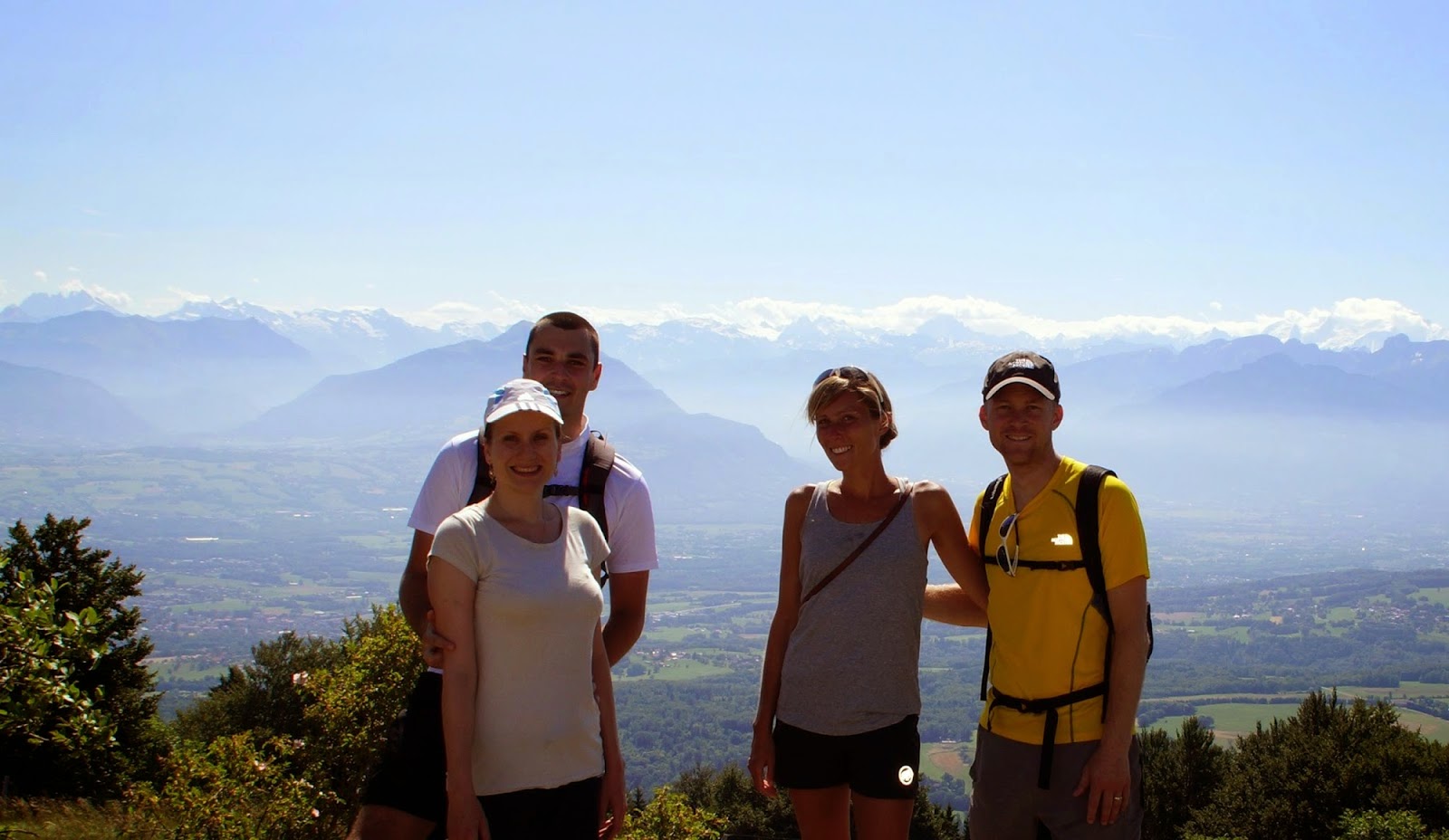
I officialy claim this my favourite hike till now (but I do have a couple of exciting plans so the detronization will be possible). Rochers des Fiz is a mountain chain very close to Mont Blanc that we decided to get to know inside out. And so we did a ~27 km hike with elevation gain of ~1600 m going round the huge massif of Fiz with Col d’Anterne as our destination point. The variety of terrain struck me, but no wonder, as we covered all possible directions, sun expositions and different elevations.
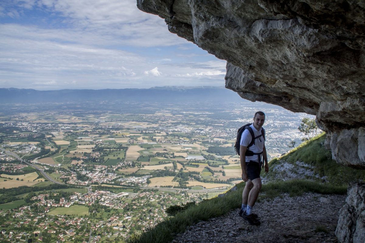
We started gently by the woods, through the chalets and up to Passage du Dérochoir which was a fun scramble up ladders and chains.

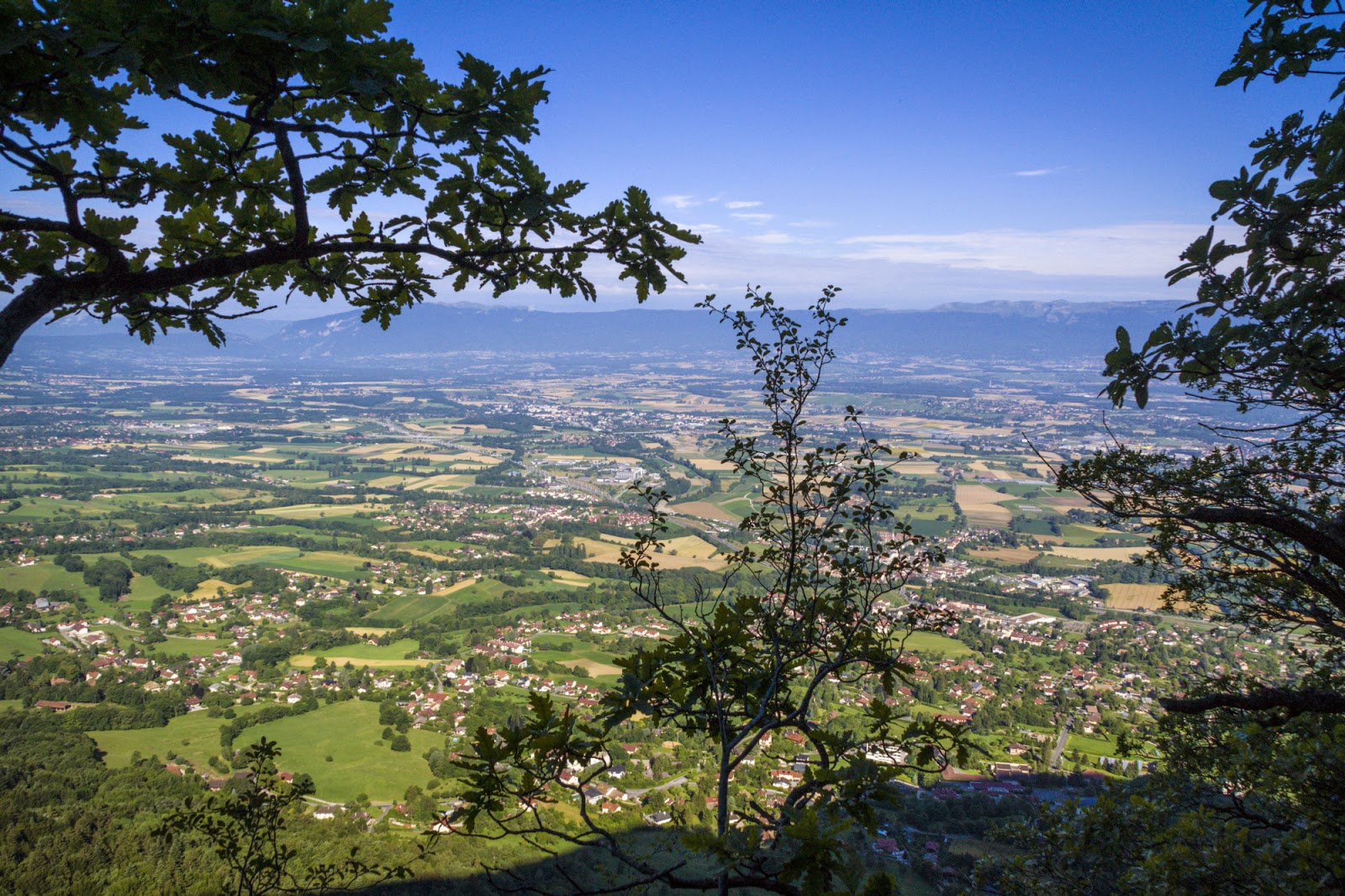
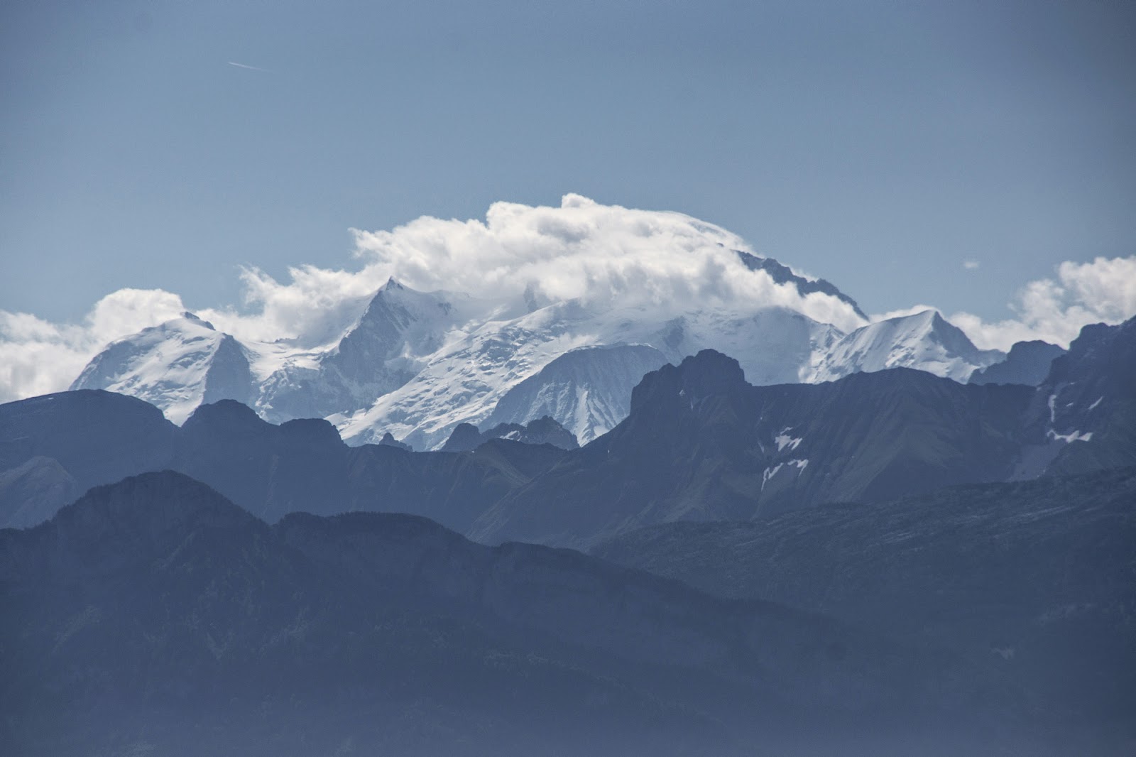
Clouds were trying to creep in but dissolved by the time we reached them. Mont Blanc accompanied us every now and then (playing hide and seek behind the clouds).

Soon the landscape changed as we started struggling through plain rocks and boulders. This topography is always fun!

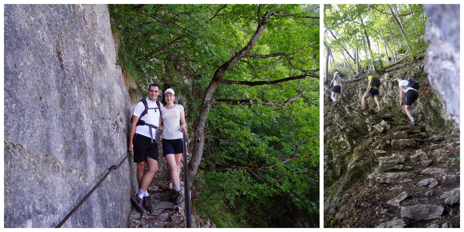
Before reaching the vertical passage we had a final chance to gather strength and courage, and have a peek on Mt Balnc.

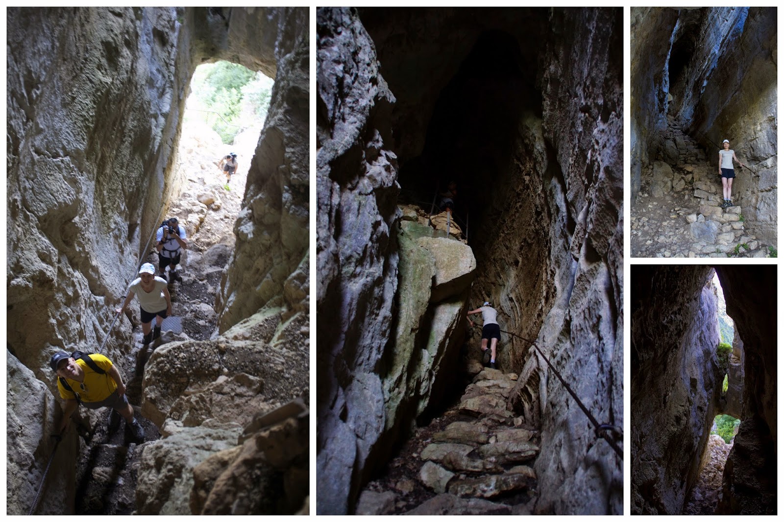
So there it is… Anyone has vertigo?

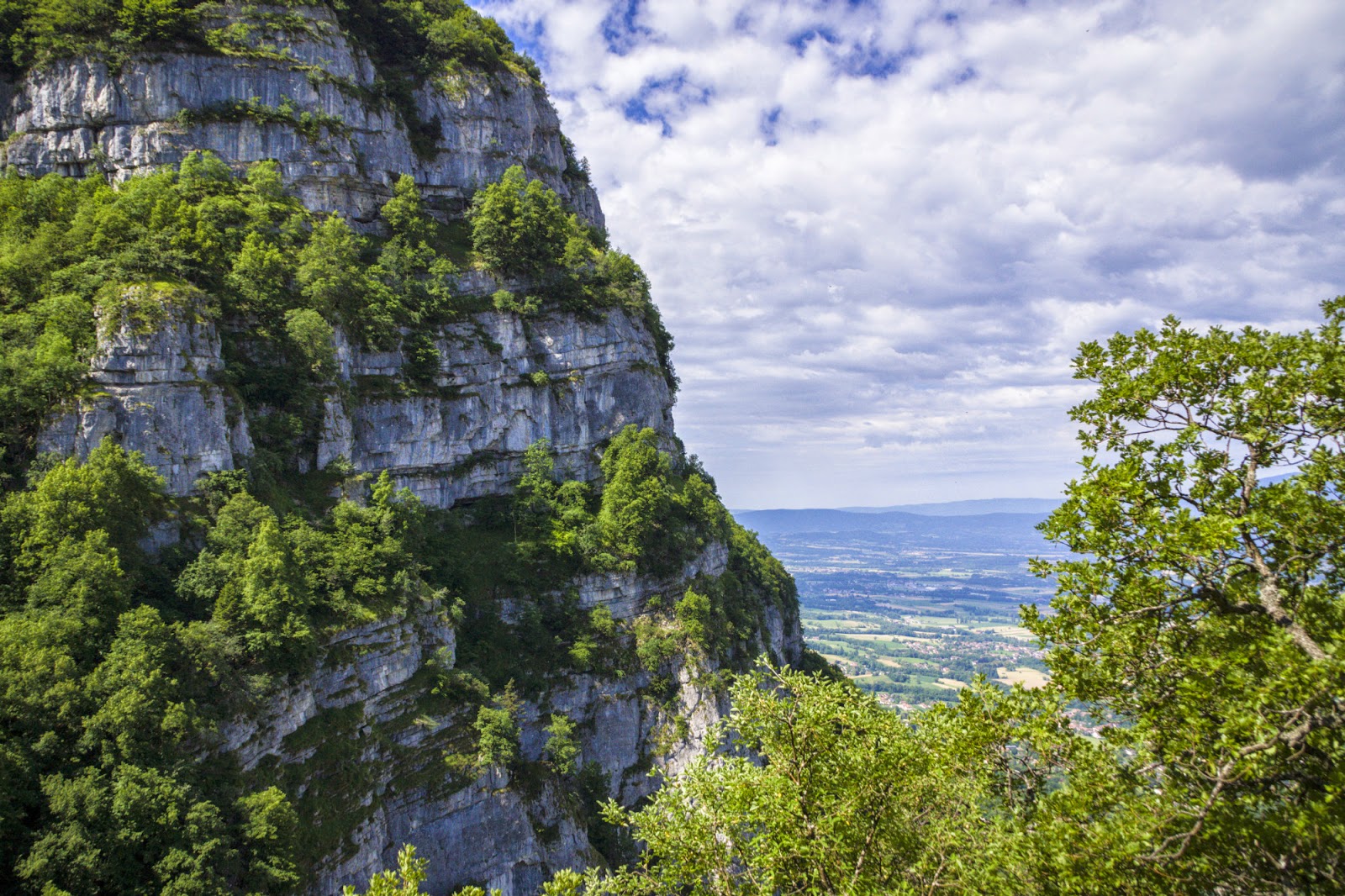
And finally – reward – namely the views at the other side of the rocks. A beautiful green valley awaited us. After a vertical climb we could enjoy a mild descent and then flat parts at the foot of the mountains.

When we reached the end of the valley we were exposed to yet another change of topography – countless waterfalls. They were huge and numerous and I loved them! We didn’t linger too long though as it was not even half of our way yet.

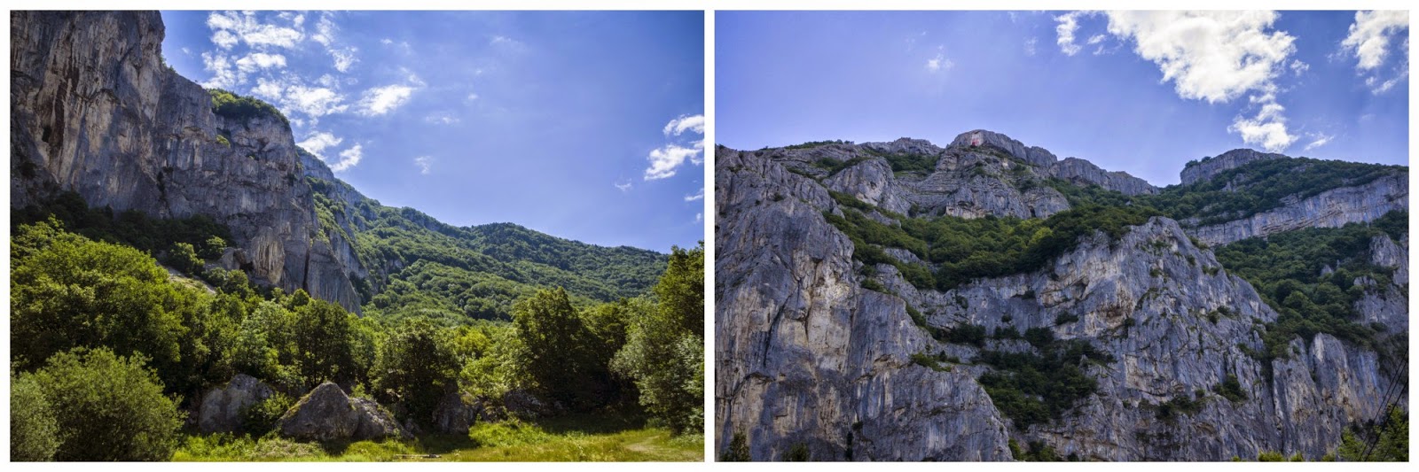
From there we made a turn and had more meters up of hiking to reach the other side of the mountain chain. After a while we could see the famous wall of the Fiz mountains. Very impressive.

From there we had yet another hike (we were hoping it would be the last one but it wasn’t) to reach Lac d’Anterne. So, a final look on the refuge and another view change.

By this time we were pretty exhausted and we still had a final hike to Col d’Anterne ahead of us. On top of that, the weather was changing and we were afraid the showers that were forecast might actually occur. So we gathered our strength and continued. At the col Mt Blanc reemerged but we rushed down very quickly. On our way to the car we had a couple of drops but the thunders we heard in the distance didn’t reach us fortunately. We were to tired and in a hurry to do photos though… In any case, that was an awesome hike!

Col des Verts (2500 m)

I am very disappointed by the weather this year (almost to the point of frustration) but I try not to be held back because of it. And sometimes it is good to go hiking in unobvious conditions because you get to see marvels like the one above.
Our today’s destination was proposed by our friend Agnieszka and it’s a pass just right by Pointe Percée – a holy graal of hikers around since it’s one of the most difficult summits you can claim without specific gear. Well, you will read about Pointe Percée in my posts to come but this time it’s about Col des Verts which was actually easy and agreeable.


We started in the clouds, first on soft paths in a valley but then soon through hard rocks and stones. We didn’t have much of a view but that would change a bit on our way back.

We quickly reached the refuge and and continued to the right. At some point hope had lightened our hearts as we began to see sunny spells and blue skies patches. Soon the mist cleared completely revealing Pointe Percée and Col des Verts in its full bloom.

As we continued to the top the views became more and more stunning. We left the clouds behind our back and enjoyed the first real sun in some days.


The final part of ascent was pretty technical but short. Radek went first and as he reached the pass before me he shouted with delight. That kept me reassured! And indeed, I also couldn’t help but just whisper „wow” when I saw the other side.

We stayed on top a longer while, Radek even went to check out the path to the neighbouring Pointe Percée but capitulated shortly when it turned out it was basically a climbing route. When we started descending the clouds raised a bit and the valley below became a bit blurry but still breath taking.

Since the clouds moved a bit higher we had a chance to see some of the views we missed going up. Lovely…

La Roche Parnal (1986 m)

Is there a better way to celebrate your 6th wedding anniversary than a life threatening experience in mountains? Well, I don’t know because I chose the risky way of commemoration… But from the start… I chose la Roche Parnal for our today hike because it was close and not too long and we didn’t want to spend the whole day in mountains. As usual, when I saw some nice technical parts of the route I got excited and decided to go for it… Well, that was the first time I have underestimated a mountain. Hopefully my last one!

That’s la Roche Parnal as seen from distance. Looks innocent!

The supposedly fun part was Col du Cable – an exposed place equipped with chains and spikes. The spikes were there to put your feet on while crossing the passage. There were a couple of problems though… Firstly, the weather was nasty. It had been raining a lot earlier and everything was wet and muddy making us slide on almost every surface. Secondly, the spikes were not evenly hammered, the distance between them was big and sometimes there were none whatsoever.

It was a rather dramatic venture to cross this passage. One false move
and we would find ourselves dangling at the cable with feet down over a
10 m almost vertical slope. Our shoes kept sliding from rocks and spikes
because everything was wet so we needed to watch our every step.
Fortunately, noone died and it is one of those experience that once you
are passed it you are able to laugh at it. Once past Col du Cable we soon reached the summit. A bit of bad luck though, because 5 minutes before reaching the top clouds came in and covered the view entirely for around half an hour.

We didn’t wait till the clouds disperse and started walking down. Of course, the clouds dispersed shortly after 🙂 On our way down we encountered lots of wild goats and a groundhog.

We kept moving on a muddy path, trying our best not to fall down. That’s Radek balancing on the route.

We soon left the rocky parts behind us and continued on through fields and grazing cows back to the car. Indeed, a very good way to celebrate our anniversary!

La Tournette (2351 m)

Our longly awaited La Tournette hike has finally come true. Overlooking Lake Annecy, La Tournette is a nice mountain having a lot to offer. The ascent starts rather innocently but we had nice views practically from the beginning.

The actual summit is this square block at the left side of the chain:

The weather was perfect for hiking – rather warm but no burning sun. Thanks to that we reached the ridge quite fast and continued on walking on higher altitudes.

And here it is – Lake Annecy. From that moment on it accompanied us on our tour more or less all the time.

At last we reached the square block of La Tournette. It didn’t look hikable but I already learnt that everything is hikable here! In this big cube of rock there was a little crack at the back. This is where chains and a ladder were installed so that wanderers could reach the highest point.


As usual, we made a little pause at the top but at some point we felt little drops on our noses and decided to get back. Fortunately it was a false alarm because what was ahead of us wouldn’t be very pleasant in rain. And what was ahead of us? Chains, ladders (ok, one ladder), vertical passages… I didn’t expect that our descent would be so technical! We all enjoyed it!

At some point the sky cleared a bit. Yey! But that was already when we were already at the foot of Tournette.

Oh yeah, did I mention we encountered tons of wild goats? They’re always soooo cute!

Trou de la Mouche (2467 m)

Already before coming to France I made a list of places I want to hike. Trou de la Mouche (2467 m) was marked red in it so that I don’t miss it by chance! And finally, we made it! We started from a valley, already having beautiful views on a very hot day.

We soon went out of a tourist and animals’ bell ringing zone and started some more serious hiking through pebbles and rocks.

That’s a first look on our destination place:

Trou de la Mouche (Hole of a Fly) is basically an arch in a rock. We could see it for the most time of our ascent which made it pleasent to hike (it’s always motivating to be able to see the aim). But before reaching it we needed to get past the valley still covered in snow at some parts, then climb the ridge and made a last-ditch effort of almost a vertical climb to La Trou. But we were rewarded…

Although the clouds were lurking for us we were just in time to see a beautiful view on the valley, Mont Blanc and la Trou. Really splendid!

A short break to enjoy the views and grab a bite and off we go down at the other side of the arch, getting away from the clouds. That side of the rock was as nice as the other one!

The river wild

For once bad weather turned out to be a blessing… I booked our white water rafting session 2 months ago as a birthday present for Radek and were looking forward to it ever since, so when the rain didn’t stop to fall we were a bit annoyed. But thanks to that the Dranse river was pretty raging, thus giving us a lot of fun! The rafting took a bit less than two hours (normally it would be longer but the river was very fast that day). What can I say more… It was a blast. I couldn’t stop grinning. See yourself in this 'best of moments’ video we did:

Salève hiking (1379 m)

We’ve seen Salève a couple of times already but we never actually hiked it. Today was a good day to change it so we set off on the route with our friends Kim and Derek.
Salève is not really high but there is a galore of routes around. We chose the one through a Cave of Orjobet on the way up and Grande Gorge on the way down with a little detour to see the paorama on the Alps.

We did a pause at the Haute-Savoie sign painted on the rock and then continued to soon reach the top where we could see Lake Geneva and the Alps.

Mont Blanc hid from us this time but no worries, we’ll get to see it a lot of times in the future.

Creux de l’Envers

We have been very unlucky when it comes to our weather choices in here. One thing I learnt: never trust the forecasts around. But it is frustrating really – not to be able to say if the day will be good enough to get out or not. Saturday was supposed to be all gloomy and rainy so we stayed home. To our annoyence, it was a beautiful day. So on Sunday, as soon as it stopped raining, having looked at the forecasts which said: „don’t you worry, it won’t rain any more” we decided to have a walk at the footstep of Jura. When we set off it was sunny but the clouds were kind of forming as you can see in these photos.

At some point it became a bit more dramatic so we started rushing back to our car hoping that the rain wouldn’t catch us (I mean, we can stand a storm, but we were afraid about our baby boy health). And then, suddenly, the storm began! I mean it all happened in a split second, it became really cold and really windy, heavy rain dropped and turned into hail almost immediately. Oh boy, oh boy, where can we hide? We even didn’t have time to react because almost immediately a car pulled over and a nice lady offered us a lift to our car. Thank you, nice lady, you saved us! Our son even didn’t get wet.

That last photo was taken seconds before the storm. Well, you never know about the weather in mountains!

Les Gorges du Fier

Can you spot an outline of faces in the photo above? Such marvels of nature can be found in Gorges du Fier – a beautiful site by the river Fier which has carved those narrow passes in the solid rock.
The footbridge is installed at a stupendous height of 25 m.

The trail started with a view over the Fier river, then through a rock portal into a narrow canyon where light reflexes extracted all different colours of the rock and water. After a while we reached „La Mer de Rochers” – the sea of boulders. We watched in terror a guy jumping to the gorge from the rocks. No, he’s not a suicider (although it surely looked like he was!). At the end of the trail there was a wild beach with plenty of people bathing in sun and water. Man, why didn’t we take our bathing suits? That’s a reason to come back again some day!

Mont Joly (2525 m)

Last Saturday I took Ania’s sister and cousin to Chamonix to see Aiguille Du Midi and Mer De Galce. I left them in front of the lift and went on my own to Mont Joly (2525 m). I chose this mountain because it was close to Chamonix, accessible in the current conditions and higher than the highest mountain in Poland – Rysy (2499 m). During my hike I found out that this mountain is also very popular because of a wonderful panorama to Mont Blanc massif.