Aiguille Verte (2045 m) and Lac de Lessy

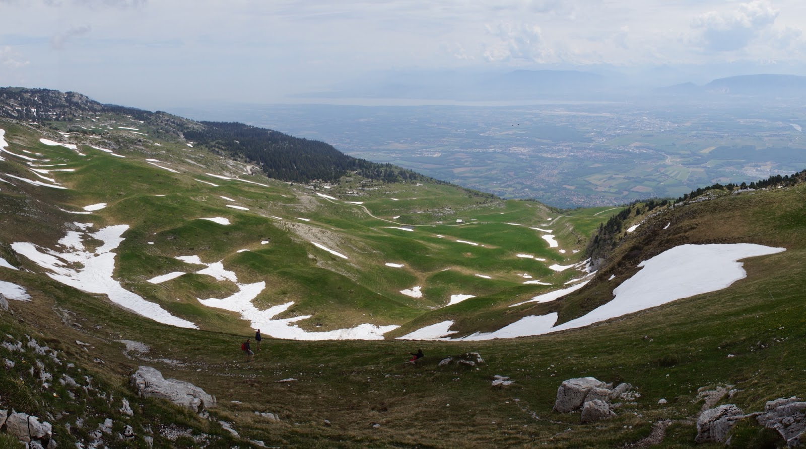
This weekend I went for a hike to see Lac de Lessy situated in French Aravis mountains. Even before doing a first step, I knew it would be something special, because in order to get to the starting point I went by car through a marvelous pass situated at ~1700 m. Eventually, I started at 1350 m and ascended to 2050.
This is how my starting point looked like:

The route was rather mild in the beginning, I followed the trail which was well marked (I lost it only once and had to go past the field in order to get back on track). After a while I reached a viewpoint where most families with children stopped. It looked really nice, but it was only a prelude to what I was to encounter later.

I continued the trail side by side with a flock of goats hidden in a shade (it was a very hot day). I continued along the trail which led first through a hill-side and then through the ridge of the mountain with a spectacular view on the valley. The higher I got the more beautiful the view became. While on the ridge I was able to see both sides, Lac de Lessy on my left and valley and view on the Alps on my right.

In the last picture you can see Aiguille Verte („green needle”) on the left and Lac de Lessy on the right. Up to that point the route was a mild one, but the last 50 meters to reach the peak were much more difficult with last 10 meters I called a „Cursed Pass of Death”. I read earlier in the net that the small passage between the two teeth of the mountain is a very dangerous one and the Internet was right this time. I didn’t dare to cross the Cursed Path of Death. But the two peaks were situated just a couple of meters away, so although technically I didn’t claim Aiguille Verte, practically I feel like I did.

To descend I took a short and very steep way down. Although it wasn’t an official trail, a lot of people went that way and it saved a lot of time to me. All in all I made almost 8 km that day.

Hiking: Le Môle (1863 m)

Today I got a bit further out of my city to climb Le Môle (1863 m). It’s a nice little mountain with a spectacular panorama that stretches out both, on the Alps and on Geneva. In fact, you can see almost 360° round when you reach the top. Moreover, an ascent to Le Môle is a mild one making it a perfect mountain for the season start, or for a pleasant walk.
In the very beginning of my climbing the weather seemed a bit ominous, but these were only the remnants of the past day which was very grim with a lot of rain. However, the higher I went the more sun I could see through the clouds.

When the forest finished I reached the plains and cows herd grazing on the grass. From that moment on the route became way steeper and more difficult, but also more enjoyable since the views became magnificent.

When the steep part was finished I was left with only a couple of meters left till the peak. However, I kinda lost my way to the peak and took a neighboring mountain to be Le Môle. But, as French say, c’est pas grave. Le Môle was just 50 meters and maybe a couple of meters higher, so I don’t feel like I missed anything. I rested for a while by the cross, admiring the Alps in clouds (with Mont Blanc showing oneself every now and then) and enjoying the breeze and then went down through Le Petit  Môle path.

Le Reculet never bores

I guess we can finally say that winter over le Reculet is finished. It took some time for a spring to push through, but now snow in the mountains is, let’s say, occasional. In the past few weeks I went to climb that mountain a couple of times but each time is different so I really don’t mind following the same route repeatedly. I also like observing my form getting better and better, now it takes me much less time to reach the top than it used to.
So, this time on Le Reculet slopes:
– fields of daffodils replaced by fields of marsh marigolds
– Le Reculet cross no longer frosty
– wildlife safe and sound on the rocks and ready to pose for pictures as usual.

Le Reculet at last

A month has passed, some snow melted and I was able to reach Le Recule top. In lower part of Jura mountains spring was already visible.

But because this May is the coldest May in Geneva region since 1908, when I went higher I still saw fight between spring and winter.

Closer to the top winter was wining. All this snow fell last week  (it is quite unusual for this time of year).

Finally after three attempts I reached the pick of Le Reculet (1717 m). Cross on top looks really spectacular during winter weather.

 Route down was very long and exhausting because of slippery snow and mud in lower parts.

Sunny Jura

One again I hit the track of Le Reculet. This time the whether was better, snow was less slippery and I had trekking bats. But once again I didn’t reach the top. During the trip I had a few nice encounters, though:

Also there was a lot of spectacular views, without the mist 😉

Unfortunately not so far away from Le Reculet top I was forced to turn back because there was too much snow. When I fell into snow up to my chest and I needed to dig myself out I decided that this was time to go back home. Nevertheless, because of beautiful weather and spectacular view, this day was totally successful.

Foggy Jura

Today I did my first mountain hike. The weather was not perfect, but in the end mountains get a very majestic look when in clouds, so it’s worth hiking even without the sun. I tried hiking the most well-known summit – le Reculet (1717 m).

Higher parts where covered in the soft snow and it was difficult to walk ahead without snow shoes. On top of that, I didn’t see any trail sign (everything was covered in snow) and the fog made the view limited, so in the end, I didn’t reach the cross which stands on the top of the mountain. But that’s fine, I will have plenty of opportunities yet to climb le Reculet. Most probably I’ll have a next trial the next week.

Lysa Hora hiking (1323 m)

On Sunday we set off for a (longly awaited by me) ascend on Lysa Hora (Bold Mountain, 1323 m). We started our hike from Ostravice village and followed up a red trail up to the top. On our way up we could admire the pastel colours of the autumn intertwined with the green of the conifers.

The pace was very quick (we were guided by a marathon runner, so it was a real challenge to keep up with him), and after only 2 hours (8,5 km) we reached the summit. My first impression: „God, it’s windy”. My second impression: „God, it’s beautiful”.


 On our way back we took a milder but considerably longer route. At the end we passed by a fabulous, slightly dried up lake and a spectacular dame. At this point I was already „a bit” tired as shown in the picture. All in all we did more than 25 km.

Croatia Day 6: Hiking Rossijevo sklonište 1580 m

The next day we went hiking again. We started from Alan (yep, we reached it the easier way – by car). We wanted to do a mild ascent, like 2-3 hours of walking. We looked at a map and chose one of the routes that looked suitably.

We walked and walked and walked. Up, down, up, down… No sign of the turn right we saw on the map. At some point I got pretty tired and started being a bit anxious that we lost our way. But no, we didn’t. It turned out that the route we reckoned to be for 10 km was a 20 km one.

At some point we reached a summit we were aiming for. It was actually pretty cool, with a real mountain shelter inside, equipped with food, stove, dice and rainwater.

By the shelter we met a group of spelaeologists from Bulgaria who were there on a caving expedition. Wow, that’s exciting. We talked to them for a while and went back to Alan. We wanted to reach our car before the sunset. You can find the route on my Endomondo.

Croatia Day 5: Alan

Alan threw a gauntlet in my face so I could not ignore this provocation! „I will climb you, Alan” – that was my only thought from the moment I had to turn back in the middle of the route. And I made my promise, I came back.

There is not so much to talk about the route. Rocky mountains are the best!
But I have to say that although I did conquer Alan, I am not entirely sure who won the battle… It turned out that Alan is not so much a summit, rather a mountain shelter that can be reached by car. The shelter workers were very surprised that anyone chose to reach it on foot…
Anyhow, it turned out that from Alan all hiking roads begin, so we had to chose a relatively short one (since we were already tired after hiking a total ascent of 1101 m). We were recommended to climb on Buljma and we did. The views… spectacular.

It was a very pleasant moment – to be on the top of the mountain, to feel the cold breeze, to watch the islands just like on the map. Alan, you were a worthy opponent.

Croatia Day 2: Alan and Zavratnica

On our second day we decided to do something mild so that the drivers can recover from sleep deprivation and regain power. I have to say, it’s a bit ironic how the day really looked like, because it definitely wasn’t a mild one.

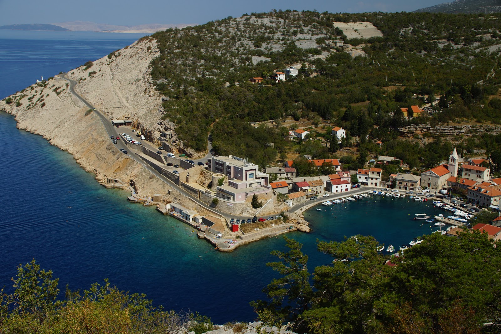
We decided to visit Zavratnica – the place where a sunken ship lies in the bay and can be visited with snorkels. We wanted to spend the day a bit active though, so we went for an option to getting there from Jablanac – a 4-km-route „for adventurers”. Well, of course we are adventurers!

But on the route it turned out that there is a path leading to a mysterious mountain called Alan. Noone was really prepared for that (we were all wearing sandals), but I managed to convince people to go and try climb Alan. Now I admit, it was silly.

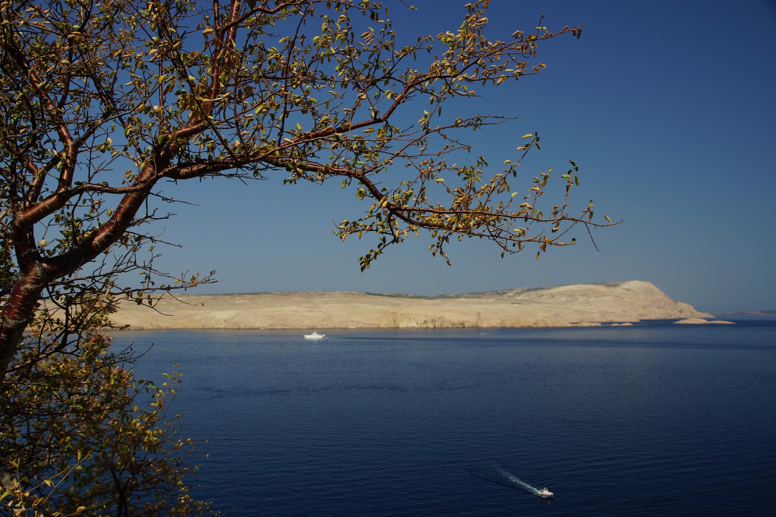
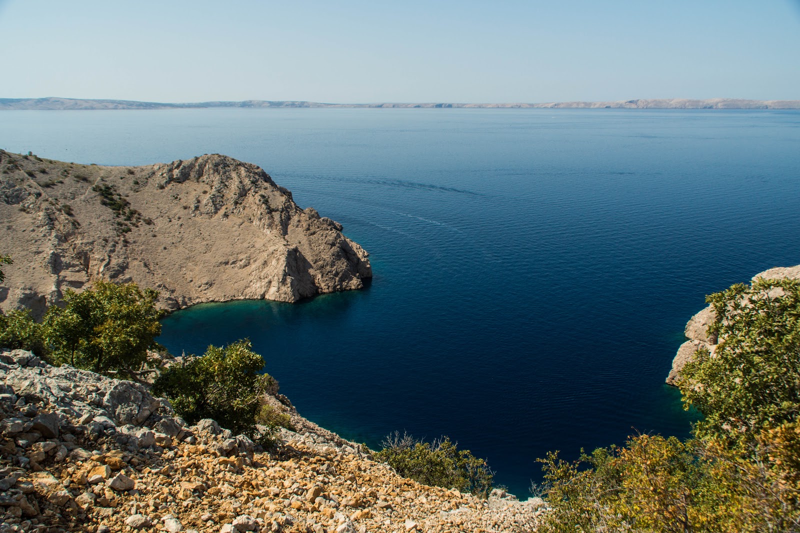
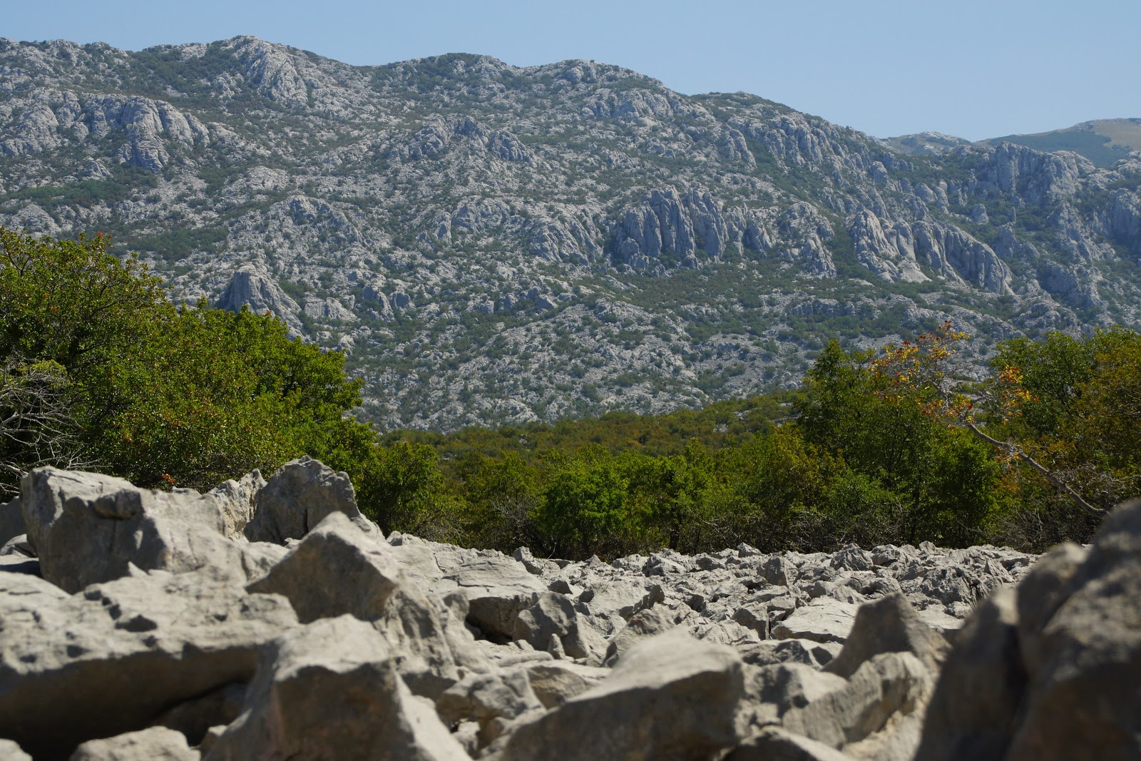
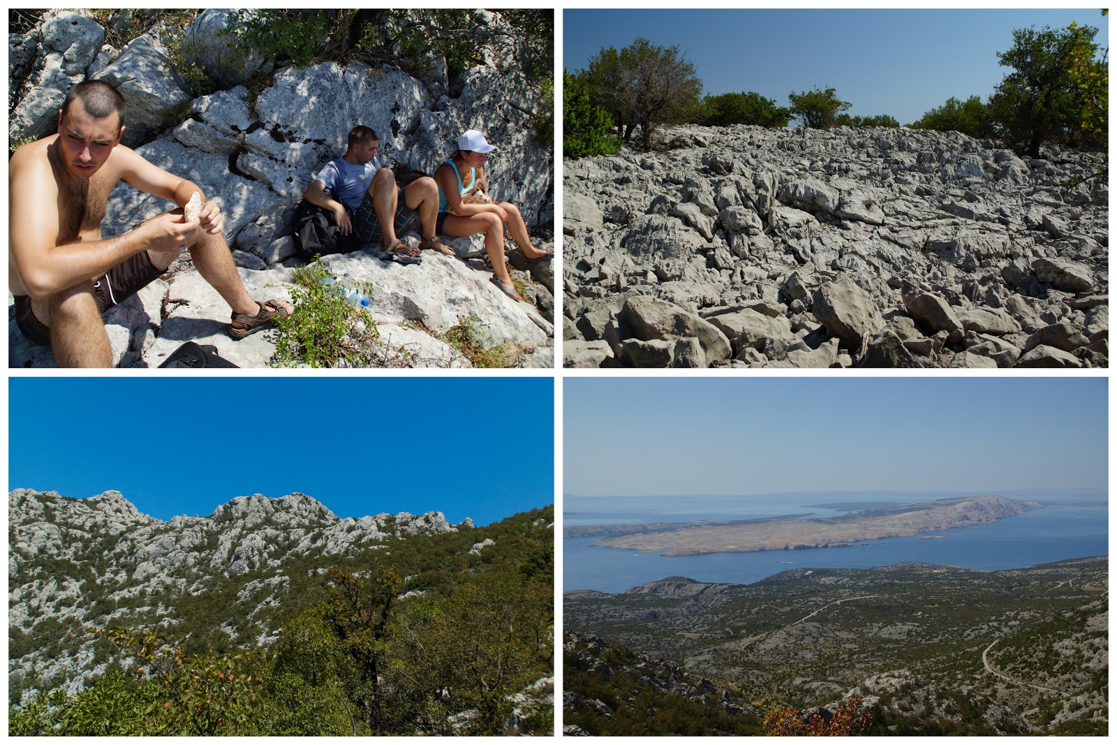
On the route we got lost and found ourselves walking on the stone run. It was extreme, very dangerous but most of all fun. And the views were spectacular.

At last we found the route and decided to keep walking to Alan. We had lots of fun by that, shouting „Alan! Alan!” all the time just like the groundhog on a well known video by Animal Planet. The route was getting steeper and steeper, our water supplies were shrinking and let’s face it – sandals is not the best choice for going into rocky mountains. So somewhere in the middle we had to give in. That hurt my pride but don’t worry, I promised myself to come back and I did just two days after.

The views from the route and  place we reached…

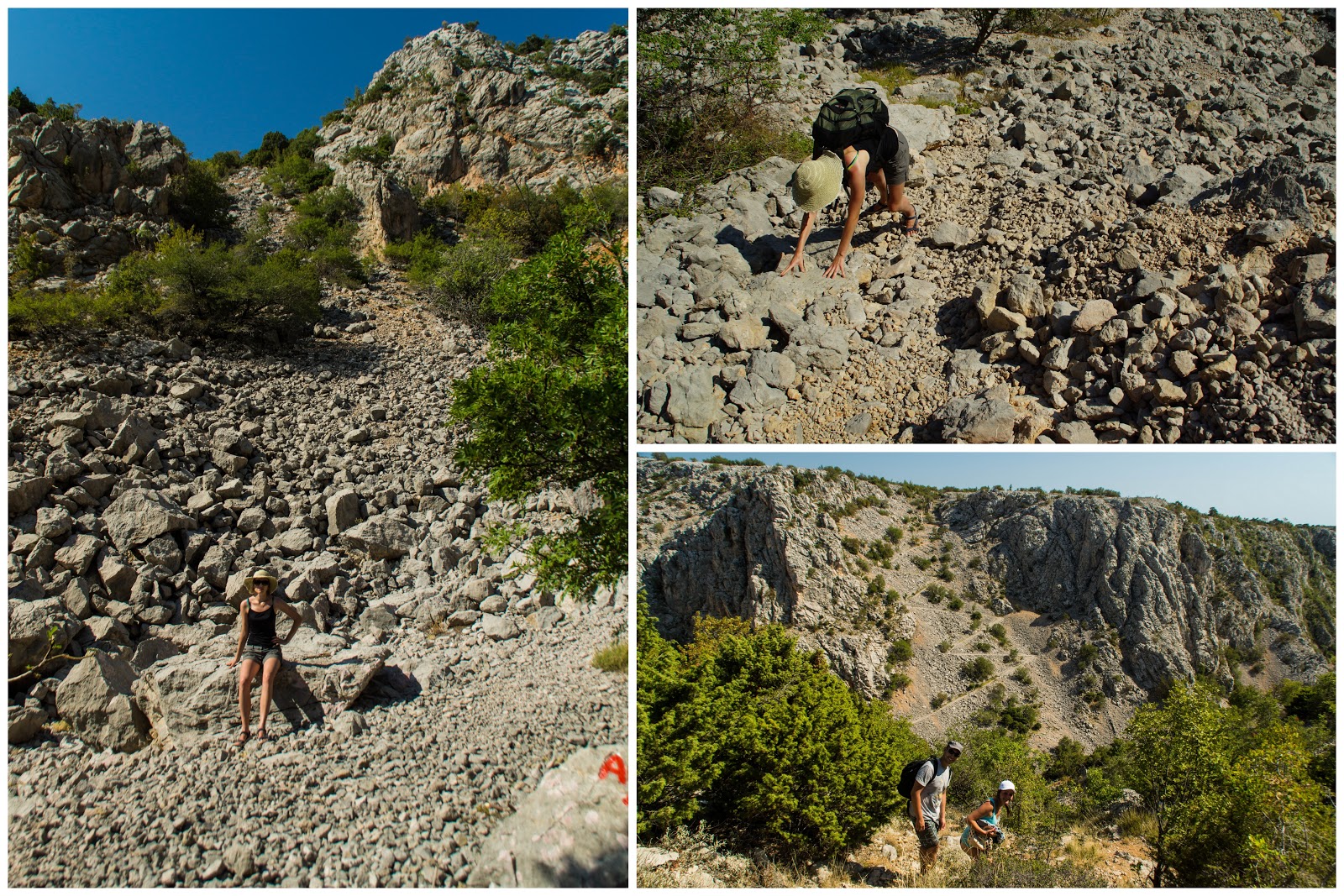
On our way back to Zavratnica we were really tired, our feet hurt but that was not the end of the surprises. We got to know why the route in the guide was described as „for adventurers”.  In principle, there was a section where we had to slide down a steep stone river. Well, we ended up all fours desperately trying to reach the bottom. Dangerous but fun!

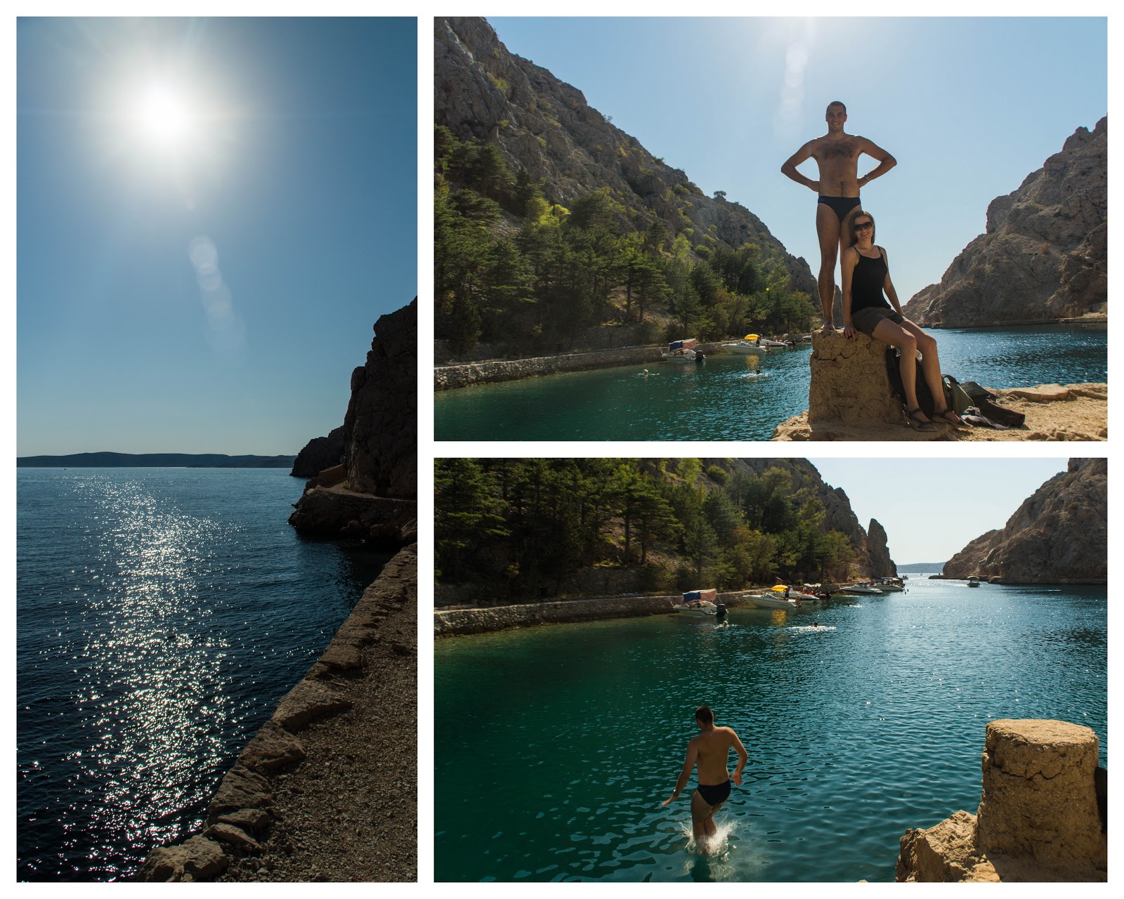
All the hardship was paid off though when we reached Zavratnica bay. First thing we did was to jump into water. Very refreshing.
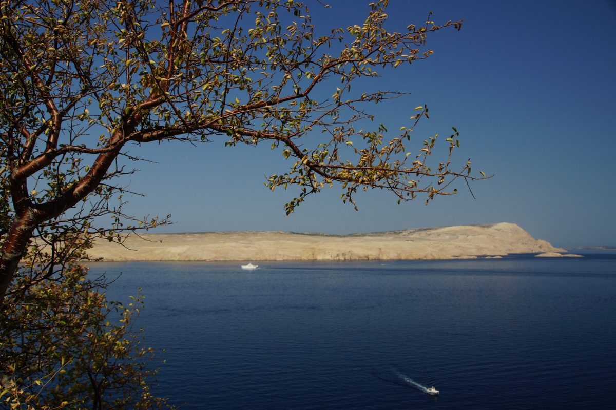
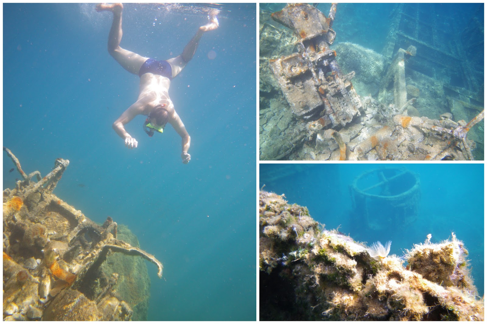
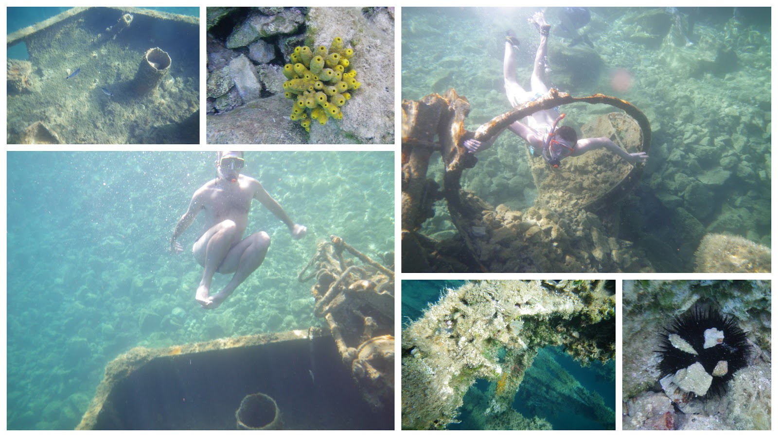
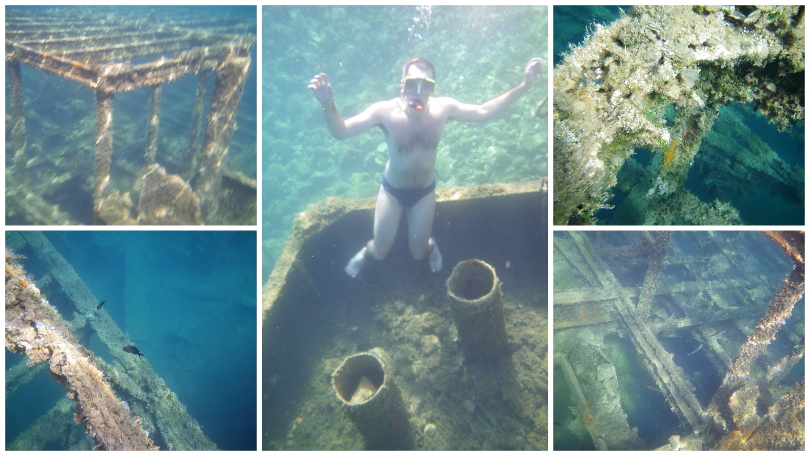
We snorkelled down to the sunken ship, it was not very deep (we didn’t need any special equipment). That was pretty cool. There were fish of different kinds, sea anemones, rusted metal covered with seaweed. We did some photos with the underwater camera.

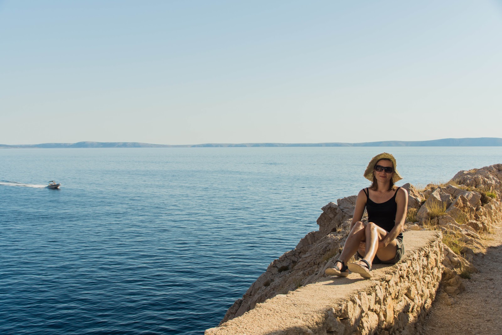
We spent the rest of the day exploring the underwater world, sunbathing and relaxing. On our way back to Jablanec we took even more lovely photos.